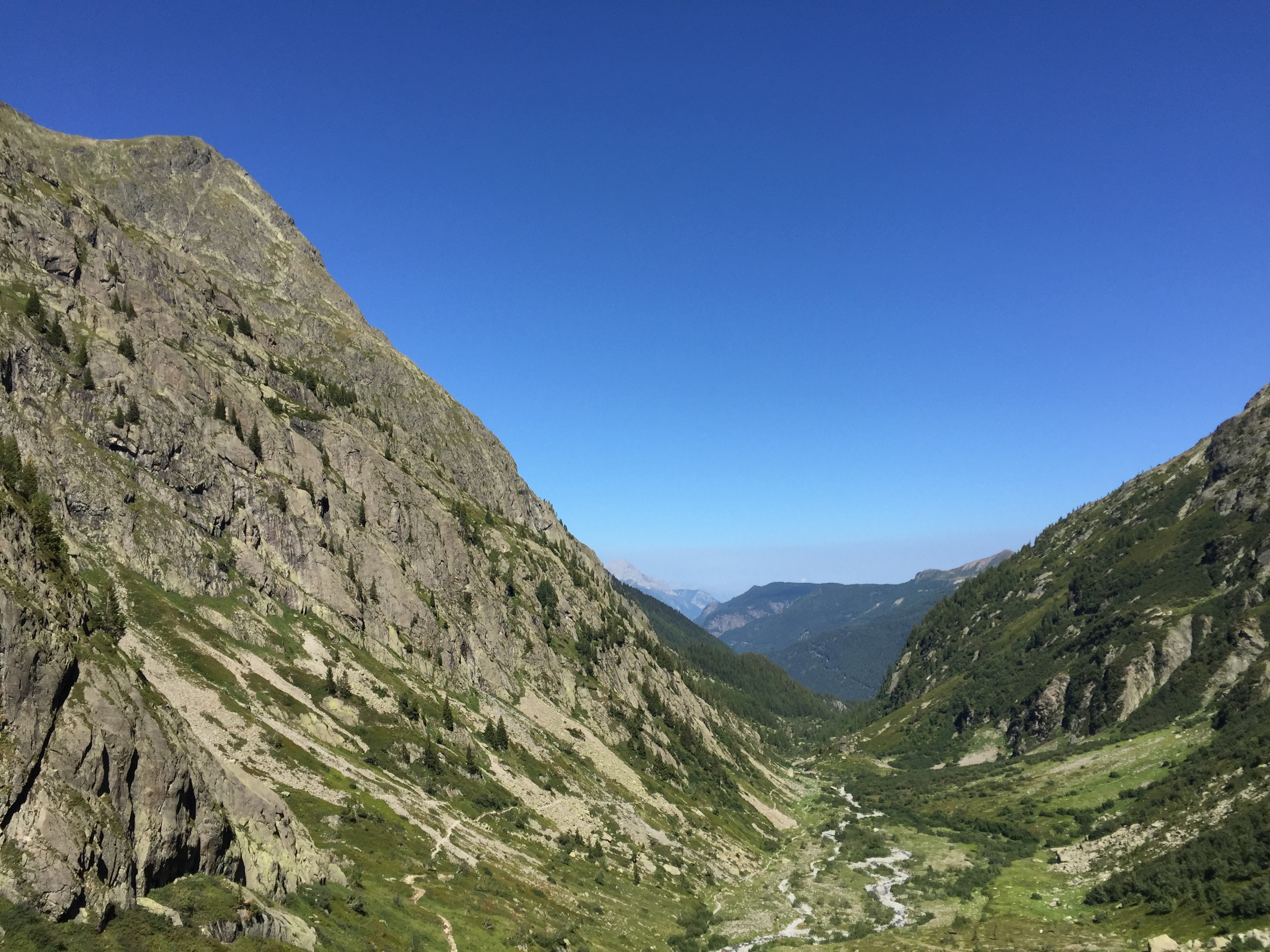
During the summer, Chamonix becomes a hub for climbers and hikers alike. This stunning valley situated in the Haute Savoie region of France offers breath-taking views, fantastic accommodation and a fantastic range of hiking trails. We have put together what we believe to be the best hikes in the Chamonix valley.
- Lac Blanc – Set in the heart of the Aiguilles Rouges Nature Reserve, this beautiful lake, which is often frozen, is a great place to appreciate the surreal surroundings and marvel at the mountain peaks. This hike has a medium level of difficulty and a round trip time of 3 hours.
How do you get there?
Starting from the top of the Flégère cable-car station, go down the combe de la Chavanne. Near the old stables, follow the ski slope on the left which winds its way up the hill and passes close to an old chalet and the Lac de la Flegere (2 027 m). Take the path below the Tete Aubuy, which follows a ridge (small lake) and joins the footpath coming up from Argentière. The path then gradually flattens and leads to Lac Blanc.

- Plan de l’Aiguille (Aiguille du midi mid-station) – This a challenging hike that starts by going through the cool forest. Once above the tree line this walk provides magnificent views of the glaciers, the Aiguilles de Chamonix, Mont-Blanc and the Grand Balcon Nord. This hike has a hard level of difficulty and a round trip time of 5 hours 30.
How do you get there?
Cross the Grépon car park (Chamonix Sud) in the direction of the ski jump. Take the path on your right and follow it through the forest and across gullies up to where it meets the forest track coming from Les Molliasses. Go straight across the track, then up opposite after passing under the lift cables; don’t take the path going to Pre du Rocher on your left. Keep going up the Plan du Trois in the forest, then climb up to the refuge, passing between some large boulders.

- Cascade du Dard – A stunning waterfall close to the entrance of the Mont-Blanc tunnel. In the heart of the forest, this waterfall hike is a must-do whilst in Chamonix. This hike has an easy level of difficulty and a round trip time of 1 hour 15.
How do you get there?
From the Grepon car park take the “chemin à Batioret” which runs beside the Route Blanche. Cross over the torrent by a bridge and walk up to les Molliasses. Pass the forest track on your left. Turn right up to the road leading to the tunnel. Follow it for about 50 metres, then turn left to take a shortcut. Continue along the route that climbs up through the trees, cross the footbridge over the Dard which will then bring you to the Chalet situated next to the waterfall.
- La Pierre à Bérard – A very pleasant walk along the Eau de Berard, partly through larch forests: on the edge of the Vallon de Bérard Nature Reserve. This hike has a medium level of difficulty and a round trip time of 3 hours 30.
How do you get there?
Take the path above the Hotel du Buet in Vallorcine. Walk up through the meadows to the Chalet de la Cascade de Berard. Follow the path through a lovely larch forest and then up a steep sided gorge to the first plateau called Fontaine-Froide. Higher up, cross the river at the Vordette bridge (1 528 m) and climb a steep rocky slope to reach a second plateau. A succession of natural terraces brings you to the foot of the last slope. Once across the stream, the path zigzags up to the mountain refuge.

- Grand Balcon Nord – Hike along the northern slopes of the valley from the Aiguille du midi mid station to Montenvers. The starting and ending points of the walks can be reached using different lifts. This route can be hiked both ways. This hike has a medium level of difficulty and a round trip time of 2 hours 15.
How do you get there?
From the cable-car station, drop down to the Refuge du Plan de l’Aiguille and take the path going off horizontally to the right across la Tapia. This takes you across the river and the base of the moraines of the Blaitiere and Nantillons glaciers. At this point, ignore the path on your left to Chamonix via the Alpages de Blaitiere. Carry on straight across the Torrent du Grepon. Above le Grand Chalet, it is worth taking a few moments’ rest to admire the impressive view of the Aiguilles de Chamonix: The M, Charmoz, Blaitiere, Aiguille du Midi and Mont-Blanc itself. A little further on, at 2 071 m, there is a junction: to your left a shorter but steeper path leads to le Montenvers across steep gullies which can be dangerous if they are snow-covered. Take the path to the right which winds its way up to the Signal inférieur des Charmoz, then to the Signal Forbes (2 198 m). The view changes dramatically: les Drus, la Verte, les Jorasses. Go down a long winding path towards Mer de Glace, Montenvers, the hotel and the railway station.
Here at Chamonix Holidays, we can arrange for you to have a guide in order for you to get to know the best areas for hiking or if you want more of a challenge, we can arrange for you to do the tour of Mont Blanc.
To book or enquire about guides or activities during your stay in the Chamonix valley please call us on (FR) 0033 (0) 486 87 79 26 or (UK) 0044 (0) 3333 60 11 12 or email us at info@chamserve.com.


